
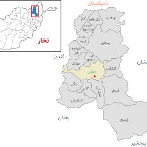
About ((Kundoz Districts Maps) د کندز ولایت او ولسوالیو نقشه ): You can read short details of the book above. If You want to get the book ((Kundoz Districts Maps) د کندز ولایت او ولسوالیو نقشه ), than just click on DOWNLOAD Now Bottom, wait and the download will start to your Mobile/PC.
Quotes
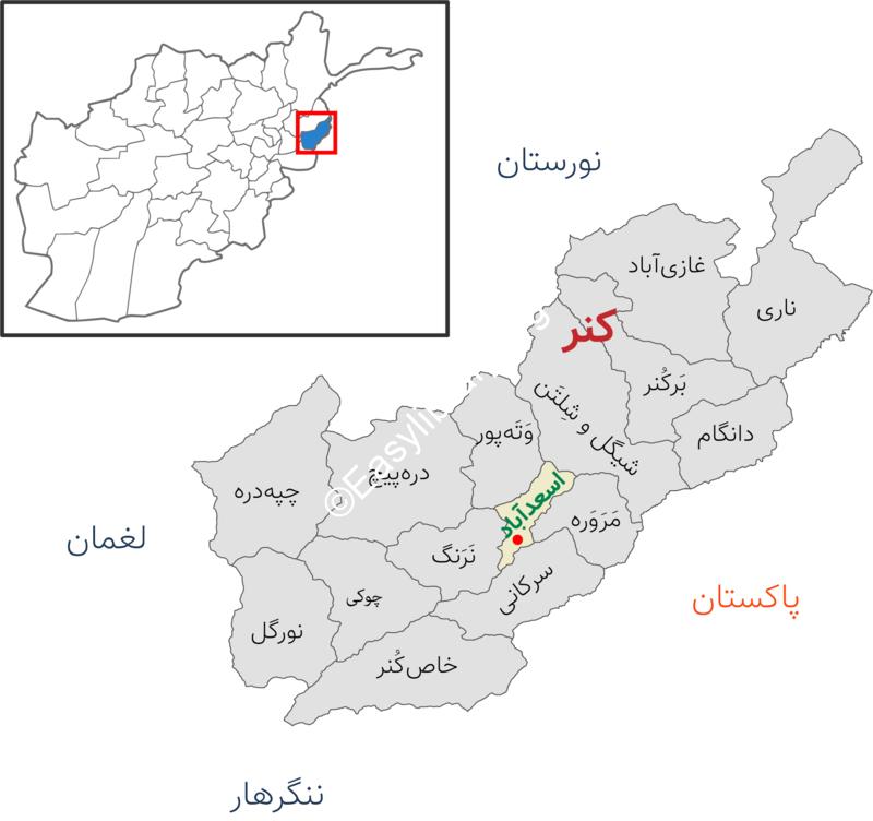
Kunar, a mountainous and forest province in eastern Afghanistan
In ancient times, Kunar was under the rule of Nangarhar province, but since 1344 AH, it has become an independent province. Most of the residents of this province are Pashtuns.
In recent days, while the security agencies of Afghanistan announce the clearing of 30 Afghan cities from the presence of the Taliban, the city of “Nari” in the province of Kunar fell to the Taliban.
In order to review the latest security developments in Kunar, we will first familiarize ourselves with the geographical and historical location of this province.
From agriculture to the existence of rich mines
Kunar is a sparsely populated, mountainous and forested province. Asadabad is a small city in Afghanistan and the center of Kunar province. On the slopes of the mountains of Yachechina and Ahmadi Ghondi districts of Khas-Konar district, there are “Kromit” mines, the location of this mine is 208 km from Kabul city and 48 km from Jalalabad city.
Kunar, a mountainous and forest province in eastern Afghanistan
Around the ninth year of Hijri, gold, silver, pearls, amber, white wool and all kinds of jewels and precious stones were traded in the border provinces of Afghanistan and India, and at that time, there were three trade routes from Afghanistan to India, one of them The route from Kabul and Kunar was to Peshawar and the coast of the Indian Sea.
Also, the horticulture value chain project of the Ministry of Agriculture, Irrigation and Livestock of Afghanistan has built a 23-acre commercial lemon garden in Kunar, from which 609 tons of lemons are harvested annually. Eureka is a type of lemon whose commercial orchards were built in two special districts of Kanar and Choki in 2019. More than 3,200 lemon seedlings have been planted in these gardens.
Also, according to the joint statistics of the Ministry of Agriculture and the National Bureau of Statistics of Afghanistan, Kunar province is in the sixth position of rice production in this country with the production of 20 thousand tons of rice in 2019.
From Nari to Dere Pich
Asadabad: The city of Asadabad, the center of Kunar province, with an area of 480 square kilometers, has a very beautiful nature. Asadabad is also known as Chaghansarai, and there is a historical hill called Chaghan in the north of Asadabad city.
Afghanistan JOBS , Download Also this book , Articles ,+Publish your Books
Reviews
There are no reviews yet.